Ancient Maps: Knowledge Before Modern Cartography
Why Ancient Maps Still Disturb Modern Assumptions
Ancient maps are often presented as crude, symbolic, or speculative attempts by early civilizations to understand their world. This assumption is comforting—but increasingly difficult to defend. When examined carefully, many ancient maps display levels of geographic accuracy, astronomical awareness, and mathematical sophistication that should not have been possible according to the conventional timeline of human development.
The existence of these ancient maps raises an uncomfortable but necessary question: who first measured the world, and when?
Long before satellites, aerial surveys, or modern instruments, ancient cartographers produced maps that appear to preserve knowledge inherited from far earlier sources. In some cases, these maps depict coastlines, landmasses, and proportions that would have required a global perspective—or at the very least, techniques now considered “modern.”
This article establishes the foundation for the Ancient Maps series by examining how and why ancient maps challenge prevailing narratives about the origins of cartography, science, and civilization itself.
What Do We Mean by “Ancient Maps”?
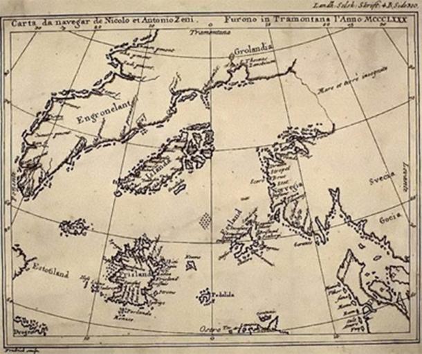
When discussing ancient maps, it is important to clarify what qualifies as “ancient.” The term does not refer only to maps created in antiquity, but also to maps compiled in later historical periods that explicitly claim to be copied from much older source material.
Key characteristics shared by many ancient maps include:
-
High coastal accuracy inconsistent with their era
-
Knowledge of latitude and proportional scaling
-
Astronomical or celestial reference systems
-
References to lost or submerged lands
-
Statements by mapmakers acknowledging older sources
Rather than representing original discoveries, many ancient maps appear to function as repositories of inherited geographic knowledge.
Cartography Before Modern Tools
Modern cartography relies on technologies that were unavailable before the 18th and 19th centuries, including:
-
Accurate longitude calculation
-
Chronometers
-
Satellite imaging
-
Aerial reconnaissance
Yet numerous ancient maps demonstrate features that seemingly require these tools.
This contradiction has often been explained away by assuming coincidence, exaggeration, or later interpolation. However, when similar anomalies appear repeatedly across different cultures and centuries, coincidence becomes statistically implausible.
The more reasonable explanation is that cartographic knowledge did not develop linearly, but rather survived through cycles of loss and rediscovery.
The Role of Astronomy in Early Mapping
One of the least discussed aspects of ancient maps is their connection to the sky.
Many ancient mapping traditions relied on:
-
Stellar alignments
-
Solar and lunar cycles
-
Precessional awareness
-
Celestial coordinate systems
This places ancient maps in direct conversation with archeoastronomy, a discipline that has already demonstrated advanced sky knowledge at sites such as Göbekli Tepe.
Mapping the Earth and mapping the heavens were not separate pursuits in the ancient world—they were part of the same cosmological framework. To understand ancient maps, one must also understand that early civilizations navigated by stars long before they measured land.
Inherited Knowledge and the Problem of Source Maps
Several historical cartographers openly admitted that their work was not original.
They described compiling maps from:
-
“Ancient source documents”
-
Lost libraries
-
Charts rescued from earlier civilizations
This is a critical point often ignored in mainstream discussions. If later mapmakers were copying older maps, then the true origin of the knowledge may lie far deeper in time than the surviving documents suggest. In other words, the date of a map’s creation is not necessarily the date of the knowledge it preserves.
A World Changed by Catastrophe
Another essential context for understanding ancient maps is global sea-level change. At the end of the last Ice Age, particularly during the Younger Dryas transition, sea levels rose by more than 120 meters. Vast coastal plains—where early civilizations would naturally have flourished—were submerged.
If advanced societies existed before this period, their primary settlements would now lie underwater.
Ancient maps that depict coastlines inconsistent with today’s geography may therefore represent a memory of a drowned world, preserved long after the land itself disappeared.
Why Ancient Maps Matter Today
Ancient maps are not curiosities. They are data.
They force us to reconsider several deeply held assumptions:
-
That complex science only emerged after agriculture
-
That early humans lacked long-term observational knowledge
-
That civilization advanced in a simple, linear progression
Instead, ancient maps suggest a more complex reality—one in which knowledge was accumulated, lost, preserved, and rediscovered across vast spans of time.
Setting the Stage for the Series
This article serves as the foundation for the Ancient Maps series. In the following entries, we will examine specific maps in detail, including:
-
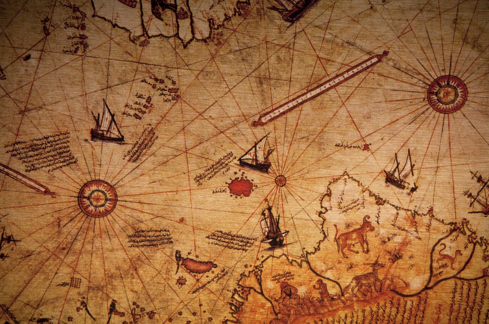
The Piri Reis map and its impossible coastlines
-
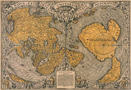
Antarctic depictions predating official discovery
-
Evidence of submerged lands preserved in cartography
-
The possibility that maps preserve memories of forgotten civilizations
Each article will focus on evidence, context, and comparative analysis—allowing readers to draw their own conclusions while confronting the growing body of anomalies that cannot be easily dismissed.
Conclusion: The Question That Remains
If ancient maps contain knowledge that should not exist, then the question is no longer whether history is incomplete—but how much has been forgotten.
Ancient maps do not provide all the answers. But they do something far more important: they show us that the past was likely more sophisticated, more fragile, and more cyclical than we have been taught to believe.
And once that door is opened, it cannot be closed again.
Additional Readings & Sources
-
Hapgood, C. Maps of the Ancient Sea Kings – link
-
Piri Reis, Kitab-ı Bahriye – link
-
National Geographic – Early Cartography and Navigation – link
-
British Library – History of Mapmaking
-
Schoch, R. Forgotten Civilization – link
-
West, J. A. Serpent in the Sky – link
-
NOAA – Post-Ice Age Sea Level Rise – link
-
Smithsonian – Ancient Navigation Techniques