
Civilizations Lost Beneath Ice and Fire
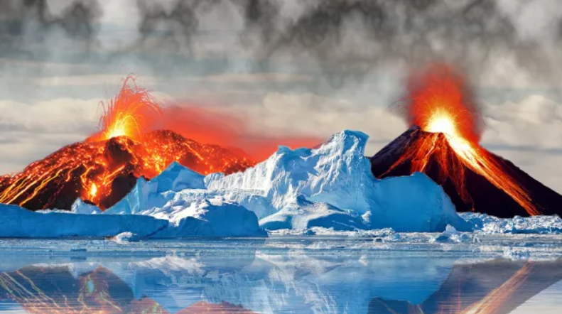
Ice and Fire — Civilizations Lost Beneath the Ice Sheets and Volcanoes Throughout human memory — and perhaps long before it — fire and ice have sculpted the fate of civilizations. Glaciers advancing and retreating, volcanoes erupting with unimaginable power, and the planet’s own cycles of renewal have erased entire chapters of history.But could beneath […]
Buache Map: Ancient Knowledge of Antarctica?

The Buache Map: Evidence of Ancient Knowledge of Antarctica? Among the most intriguing enigmas of historical cartography is the Buache Map, an 18th-century chart that has sparked debates about whether ancient civilizations possessed advanced geographical knowledge long before the modern era. Some researchers claim that the map accurately depicts Antarctica before it was buried by […]
Buache Map: Ice-Free Antarctica or Ancient Cartography?

The Buache Map: Antarctica Before Ice? Exploring Ancient Knowledge Few artifacts of cartographic history are as provocative and mysterious as the Buache Map, a chart drawn in Paris in 1737 by the French geographer Philippe Buache de la Neuville. The map’s depiction of Antarctica as two separate landmasses—a feature not scientifically confirmed until the 1958 […]
The Oronteus Finaeus Controversy

The Orontius Finaeus Map: Did Ancient Cartographers Know Antarctica? Oronce Finé — also known as Oronteus Fineus or Orontius Finaeus — was a French mathematician, cartographer, and Royal Astronomer who left behind some of the most enigmatic maps of the Renaissance. Among them, his 1531 heart-shaped projection map has fueled centuries of debate. Could Finé’s […]
Oronce Finé Map: Antarctica in the 16th Century?

Oronce Finé and the Heart-Shaped Map: Antarctica in the 16th Century? In the annals of cartographic history, few figures are as fascinating as Oronce Finé (also referred to as Oronteus Fineus, Oronteus Finaeuss, or Orontius Finaeus). A French mathematician, cartographer, editor, and book illustrator, Finé combined scientific rigor with artistic ingenuity, leaving behind a legacy […]
The Piri Reis Map Sources
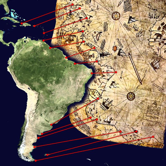
A Map That Continues to Puzzle Scholars and Enthusiasts Alike On October 9, 1929, while cataloguing neglected manuscripts in Istanbul’s Topkapı Palace, German theologian Gustav A. Deissmann unearthed a bundle of parchment charts that had lain forgotten for centuries. Among them was a curious fragment drawn in 1513 by Hacı Ahmed Muhiddin Piri — better known as Piri Reis — depicting coastlines […]
The Piri Reis Map Mysteries

The Piri Reis Mysteries: Map of Lost Knowledge? The Piri Reis Map, drawn in 1513 by Ottoman admiral and cartographer Ahmet Muhiddin Piri (Piri Reis), is one of history’s most intriguing cartographic relics. What survives today is only a fragment of a much larger map that originally depicted the known world. The existing portion shows […]
The Piri Reis Map
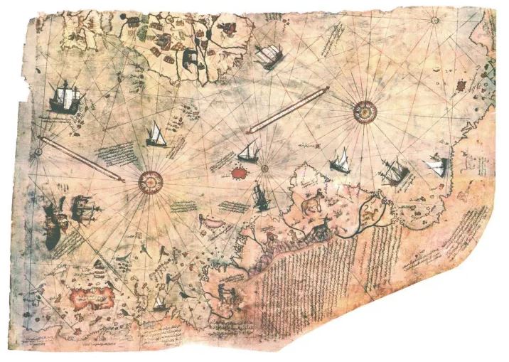
The Mystery of the Piri Reis Map: Ancient Knowledge or Coincidence? The Piri Reis Map, compiled in 1513 by Ottoman admiral and cartographer Ahmet Muhiddin Piri (Piri Reis), is one of the most puzzling documents of early cartography. Drawn on gazelle skin, the surviving fragment of this world map has fascinated historians, geographers, and mystery […]