
Oronce Fine Map of Antarctica
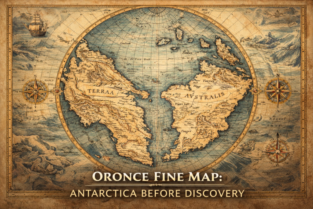
The Oronce Fine Map represents one of the earliest and most controversial depictions of a southern polar continent, portraying a massive landmass in the Antarctic region nearly three centuries before the official discovery of Antarctica, and raising profound questions about the sources of early geographic knowledge and the intellectual frameworks through which Renaissance scholars attempted […]
The Oronteus Finaeus Controversy

The Orontius Finaeus Map: Did Ancient Cartographers Know Antarctica? Oronce Finé — also known as Oronteus Fineus or Orontius Finaeus — was a French mathematician, cartographer, and Royal Astronomer who left behind some of the most enigmatic maps of the Renaissance. Among them, his 1531 heart-shaped projection map has fueled centuries of debate. Could Finé’s […]
Oronce Finé Map: Antarctica in the 16th Century?

Oronce Finé and the Heart-Shaped Map: Antarctica in the 16th Century? In the annals of cartographic history, few figures are as fascinating as Oronce Finé (also referred to as Oronteus Fineus, Oronteus Finaeuss, or Orontius Finaeus). A French mathematician, cartographer, editor, and book illustrator, Finé combined scientific rigor with artistic ingenuity, leaving behind a legacy […]
The Oronteus Finaeuss Map
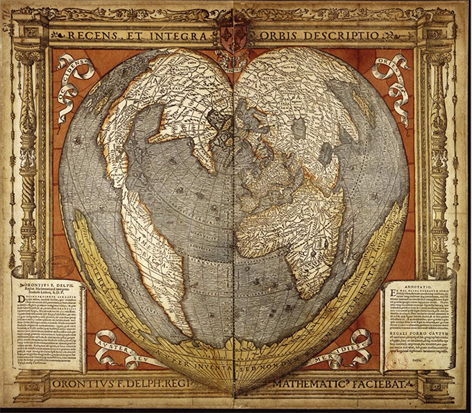
The Orontius Finaeus Map Who Was Orontius Finaeus? Oronce Finé (1494–1555), also known by his Latinized name Orontius Finaeus, was a French mathematician, cartographer, astronomer, editor, and illustrator. Born in Briançon into a family of physicians, he studied medicine in Paris but soon turned to mathematics and astronomy. Finé became the first royal lecturer in […]
