
Gerardus Mercator Map of Antarctica
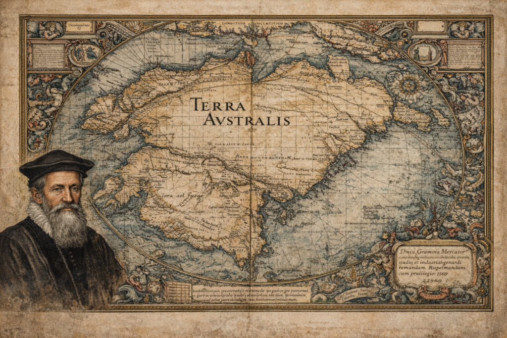
The Sources and Historical Context of the Gerardus Mercator Map The Gerardus Mercator map represents one of the most influential and scrutinized artifacts in the history of cartography, depicting a southern continent long before Antarctica was officially discovered. Created in 1569 as part of Mercator’s groundbreaking world map, it incorporates the hypothetical landmass of Terra […]
Philippe Buache Map of Antartica
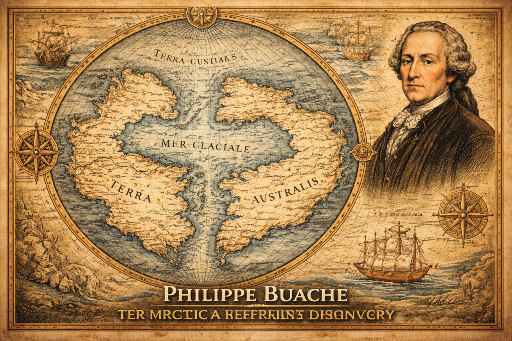
The Sources and Historical Context of the Philippe Buache Map The Philippe Buache map represents one of the most debated artifacts in the history of cartography, presenting a depiction of Antarctica that appears to include structural geographic features long before the continent was officially discovered in the nineteenth century, thereby raising fundamental questions regarding the […]
Terra Australis Hypothesis
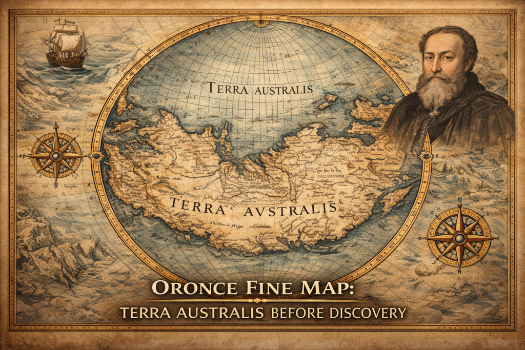
The Terra Australis Hypothesis and the Legacy of Ancient Cartography The terra australis hypothesis represents one of the most intriguing questions in the history of geographic knowledge, suggesting that a vast southern continent was mapped and theorized centuries before the modern discovery of Antarctica, raising fundamental questions about how early civilizations understood the world and […]
