
Oronce Fine Map of Antarctica
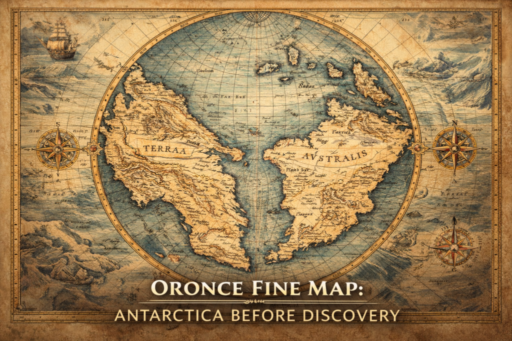
The Oronce Fine Map represents one of the earliest and most controversial depictions of a southern polar continent, portraying a massive landmass in the Antarctic region nearly three centuries before the official discovery of Antarctica, and raising profound questions about the sources of early geographic knowledge and the intellectual frameworks through which Renaissance scholars attempted […]
Philippe Buache Map of Antarctica
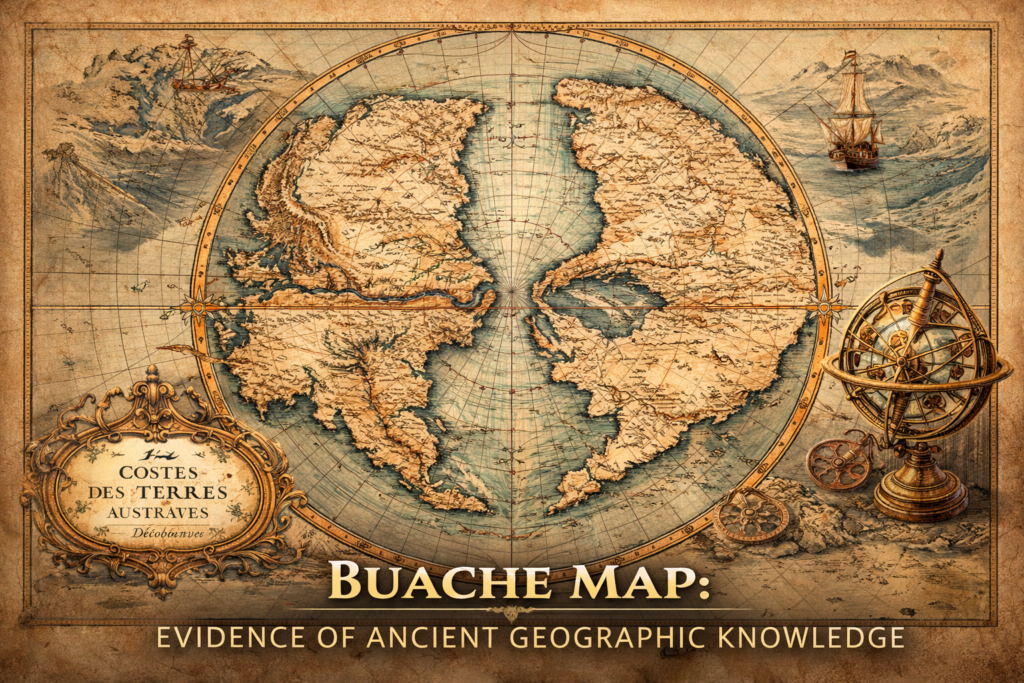
The Buache Map of Ancinet Antarctica represents one of the most perplexing documents in the history of cartography, presenting a detailed representation of the Antarctic continent decades before its official discovery and suggesting an advanced understanding of polar geography that continues to provoke debate regarding the origins of early geographic knowledge and the possibility of […]
Ancient Navigation Technology: Evidence of Lost Survey Methods
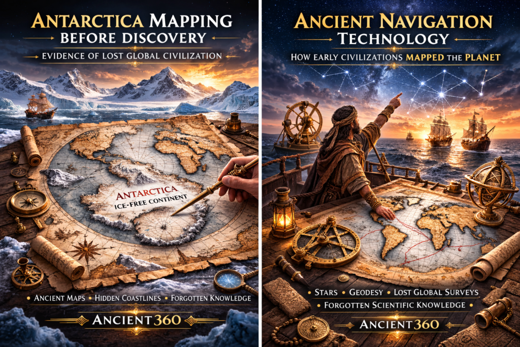
The Mystery of Ancient Navigation The study of ancient navigation reveals one of the most profound and underexplored questions in historical science, because the extraordinary geographic accuracy preserved in several early maps implies that ancient civilizations may have possessed sophisticated systems for global travel, planetary measurement, and spatial orientation long before the appearance of modern […]
Antarctica Mapping Before Discovery
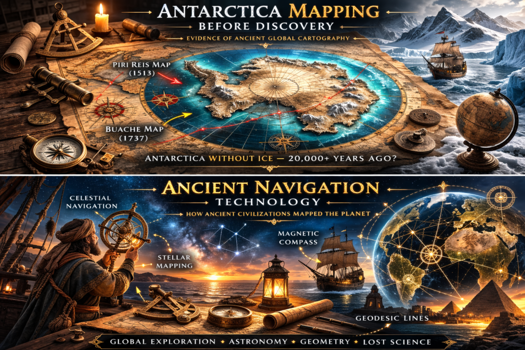
The Antarctica Mapping Enigma The mystery of Antarctica mapping in ancient cartographic documents raises profound questions about humanity’s forgotten past, because several early maps appear to depict Antarctic landforms centuries before the continent’s official discovery in 1820, showing coastlines, mountains, and geographic details that imply either lost exploration records or inherited knowledge from unknown earlier […]
Ancient Maps Anomaly: Evidence of a Lost Global Civilization
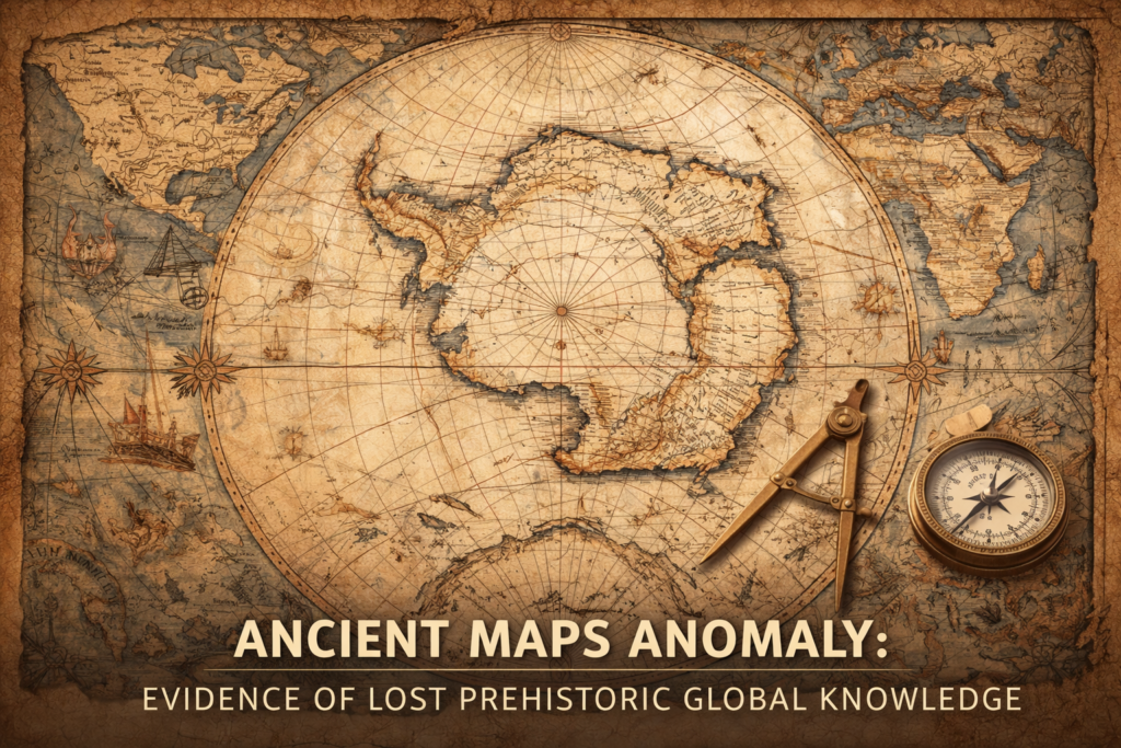
The ancient maps anomaly represents one of the most controversial and intellectually disruptive fields of historical investigation, because several medieval and early modern maps appear to preserve geographic knowledge that should not have existed according to the conventional timeline of exploration, raising profound questions about the possibility of a forgotten global civilization possessing advanced cartographic […]
