
The Piri Reis Map Sources
A Map That Continues to Puzzle Scholars and Enthusiasts Alike On October 9, 1929, while cataloguing neglected manuscripts in Istanbul’s Topkapı Palace, German theologian Gustav A. Deissmann unearthed a bundle of parchment charts that had lain forgotten for centuries. Among them was a curious fragment drawn in 1513 by Hacı Ahmed Muhiddin Piri — better known as Piri Reis — depicting coastlines […]
The Piri Reis Map Mysteries

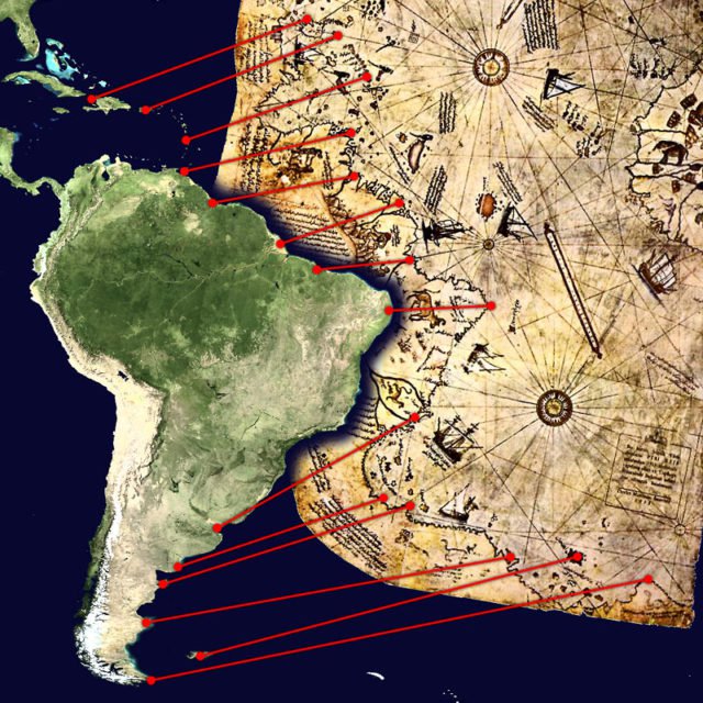
The Piri Reis Mysteries: Map of Lost Knowledge? The Piri Reis Map, drawn in 1513 by Ottoman admiral and cartographer Ahmet Muhiddin Piri (Piri Reis), is one of history’s most intriguing cartographic relics. What survives today is only a fragment of a much larger map that originally depicted the known world. The existing portion shows […]
The Piri Reis Map
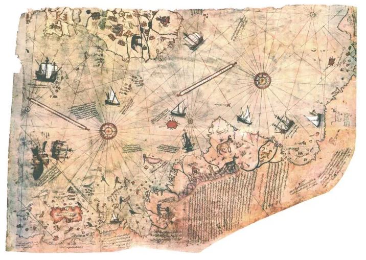
The Mystery of the Piri Reis Map: Ancient Knowledge or Coincidence? The Piri Reis Map, compiled in 1513 by Ottoman admiral and cartographer Ahmet Muhiddin Piri (Piri Reis), is one of the most puzzling documents of early cartography. Drawn on gazelle skin, the surviving fragment of this world map has fascinated historians, geographers, and mystery […]
Ancient Maps: Windows into Early Worldviews

Maps are more than mere tools for navigation—they are windows into how ancient civilizations perceived the world, blending geography, mythology, and political knowledge. From Babylon to the Ottoman Empire, these early cartographic artifacts reveal humanity’s enduring fascination with charting the unknown. Imago Mundi: The Babylon Map of the World (British Museum, UK) Known as the […]
