
The Zeno Map: An Atlantic Cartographic Enigma

Phantom Islands in the North Atlantic The Zeno Map, first published in Venice in 1558, is one of the most enigmatic cartographic artifacts of the Renaissance. Allegedly based on the voyages of two 14th-century Venetian brothers, Nicolò and Antonio Zeno, it depicts a cluster of islands—Frisland, Icaria, Estotiland, and Drogeo—lying between Iceland, Greenland, and the […]
Oronce Fine Map of Antarctica
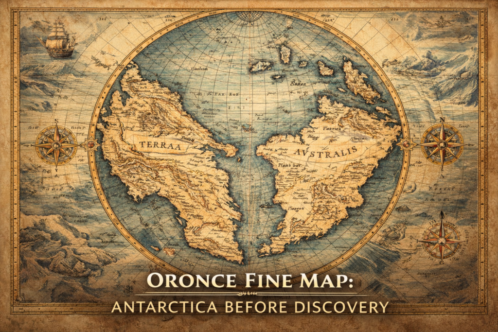
The Oronce Fine Map represents one of the earliest and most controversial depictions of a southern polar continent, portraying a massive landmass in the Antarctic region nearly three centuries before the official discovery of Antarctica, and raising profound questions about the sources of early geographic knowledge and the intellectual frameworks through which Renaissance scholars attempted […]
Philippe Buache Map of Antarctica
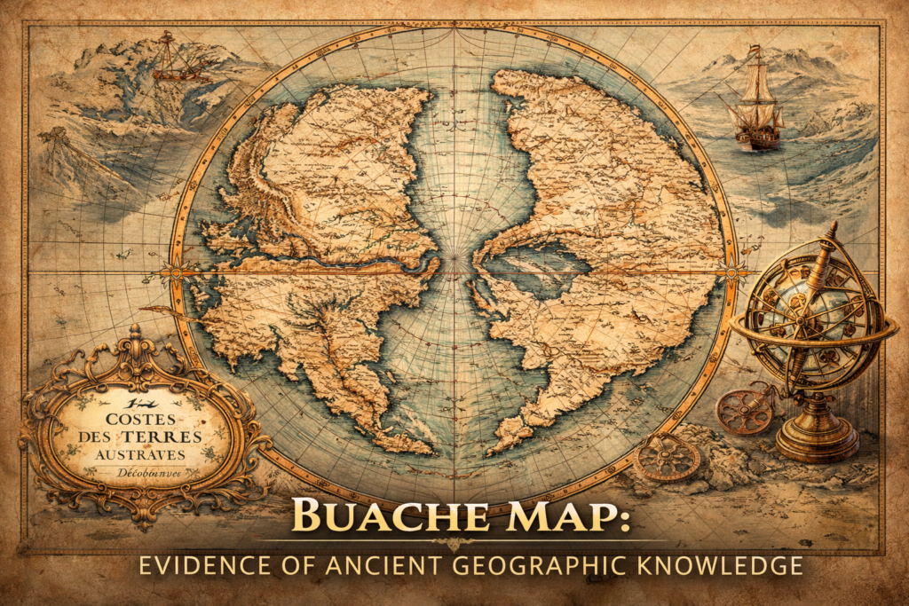
The Buache Map of Ancinet Antarctica represents one of the most perplexing documents in the history of cartography, presenting a detailed representation of the Antarctic continent decades before its official discovery and suggesting an advanced understanding of polar geography that continues to provoke debate regarding the origins of early geographic knowledge and the possibility of […]