
Oronce Fine Map of Antarctica
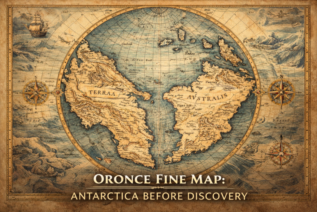
The Oronce Fine Map represents one of the earliest and most controversial depictions of a southern polar continent, portraying a massive landmass in the Antarctic region nearly three centuries before the official discovery of Antarctica, and raising profound questions about the sources of early geographic knowledge and the intellectual frameworks through which Renaissance scholars attempted […]
Philippe Buache Map of Antarctica
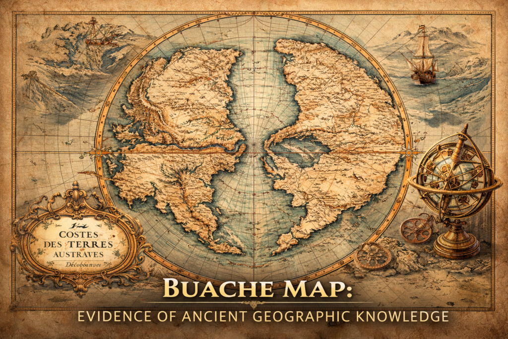
The Buache Map of Ancinet Antarctica represents one of the most perplexing documents in the history of cartography, presenting a detailed representation of the Antarctic continent decades before its official discovery and suggesting an advanced understanding of polar geography that continues to provoke debate regarding the origins of early geographic knowledge and the possibility of […]
Ancient Navigation Technology: Evidence of Lost Survey Methods
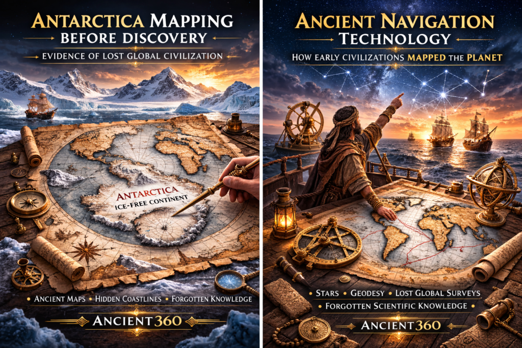
The Mystery of Ancient Navigation The study of ancient navigation reveals one of the most profound and underexplored questions in historical science, because the extraordinary geographic accuracy preserved in several early maps implies that ancient civilizations may have possessed sophisticated systems for global travel, planetary measurement, and spatial orientation long before the appearance of modern […]
Antarctica Mapping Before Discovery
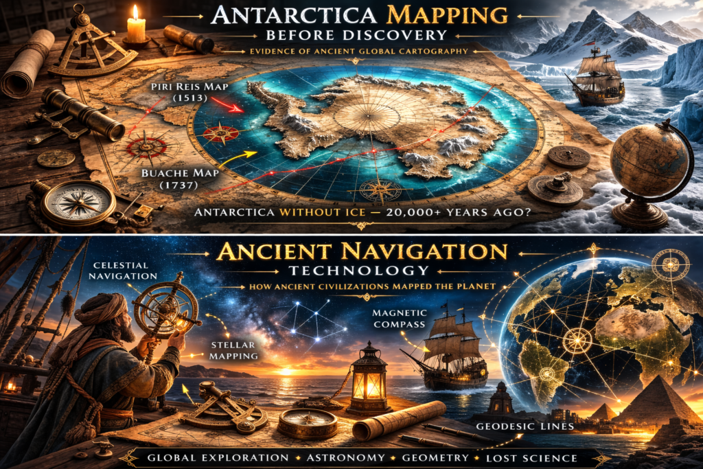
The Antarctica Mapping Enigma The mystery of Antarctica mapping in ancient cartographic documents raises profound questions about humanity’s forgotten past, because several early maps appear to depict Antarctic landforms centuries before the continent’s official discovery in 1820, showing coastlines, mountains, and geographic details that imply either lost exploration records or inherited knowledge from unknown earlier […]
Ancient Maps Anomaly: Evidence of a Lost Global Civilization
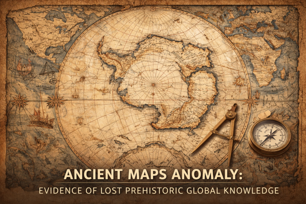
The ancient maps anomaly represents one of the most controversial and intellectually disruptive fields of historical investigation, because several medieval and early modern maps appear to preserve geographic knowledge that should not have existed according to the conventional timeline of exploration, raising profound questions about the possibility of a forgotten global civilization possessing advanced cartographic […]
Great Pyramid Erosion — Evidence It Is 20,000 Years Old

The Great Pyramid erosion patterns observed across the monument’s limestone blocks reveal forms of weathering that some researchers argue cannot be explained solely by the relatively recent historical timeline assigned to the structure, but instead suggest prolonged exposure to environmental conditions that may extend far beyond conventional chronologies, raising profound questions about the true antiquity […]
Ancient Engineering Tolerances

Precision Beyond Expectation The concept of ancient engineering tolerances refers to the extraordinary degree of geometric accuracy observable in megalithic structures worldwide, where massive stone blocks weighing dozens or hundreds of metric tons (tens or hundreds of thousands of pounds) are fitted together with joints so precise that gaps are often less than a millimeter […]
Ancient Hyper-Forests and Giant Trees
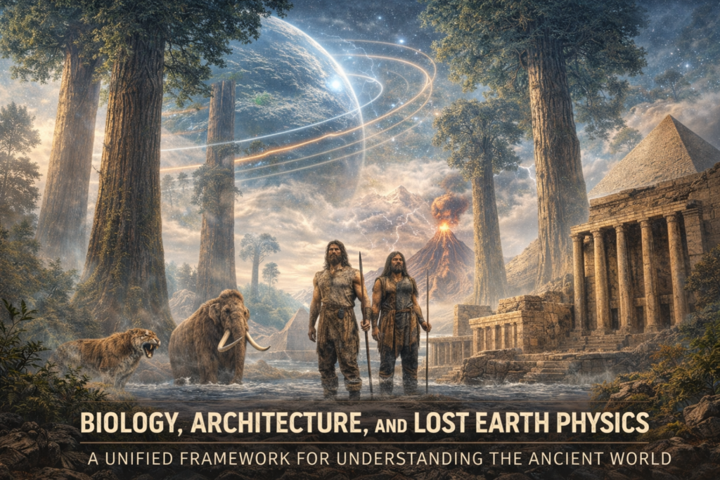
The Biological Scale of a Different Planet The hypothesis of ancient hyper-forests proposes that Earth once sustained ecological systems operating at physical scales far beyond those observable today, where trees may have reached heights measured not merely in hundreds of meters (hundreds of feet) but potentially approaching several kilometers (thousands of feet), supported by atmospheric […]
The Zeno Map History
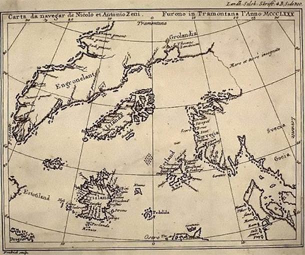
The Zeno Map History and the Problem of Forgotten Geography The Zeno Map history occupies a controversial yet fascinating position within the study of ancient maps. First published in 1558 by Nicolo Zeno the Younger, the map was claimed to be based on far older navigational charts and letters written by his ancestors, the Venetian […]
Piri Reis Map and the Impossible Coastlines

The Piri Reis Map and the Impossible Coastlines The Piri Reis map history occupies a unique and controversial position within the study of ancient maps, not because it is mysterious in isolation, but because it appears to preserve geographical knowledge that should not have been available to early sixteenth-century cartographers operating within the technological and […]
