
Sacred Orientation Architecture: Cosmic Alignment
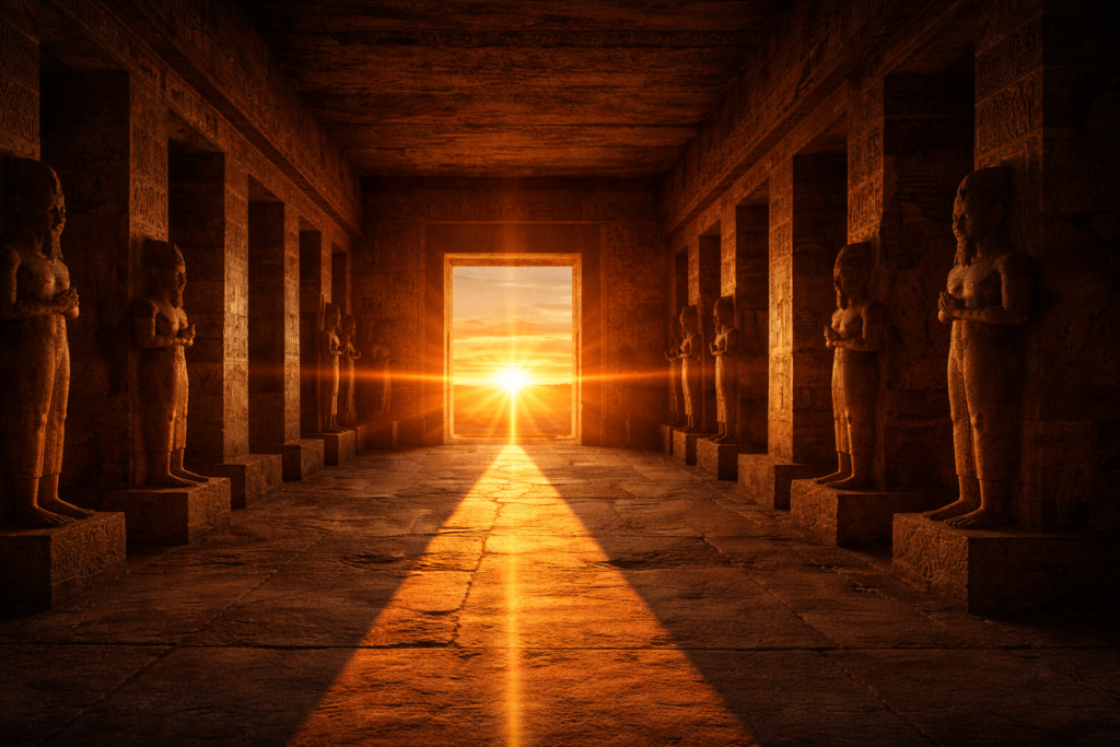
Sacred Orientation Architecture: Cosmic Alignment Architecture as Celestial Interface. Sacred orientation architecture represents one of the most profound and measurable features of ancient monumental design. Across continents and civilizations, temples, pyramids, megaliths, ceremonial platforms, and entire urban centers were deliberately aligned with cardinal directions, solar events, lunar standstills, and specific stellar risings. These alignments were […]
Sacred Orientation Architecture: Aligning Earth and Sky

Sacred Orientation Architecture: Aligning Earth and Sky Sacred orientation architecture represents one of the most remarkable features of ancient monuments, revealing how early civilizations aligned structures with celestial events, cardinal directions, and cosmic cycles to mirror the order of the heavens on Earth. Across continents, temples, pyramids, ceremonial centers, and entire cities were positioned with […]
Geometry as the Architecture of Consciousness

The Language of Stone: Geometry as the Architecture of Consciousness Across continents and across millennia, ancient civilizations constructed monuments that appear to share a common grammar of form. Massive stone structures rise from deserts, jungles, and plains not merely as shelters or tombs, but as expressions of proportion, orientation, and mathematical precision that suggest a […]
Sacred Geometry in Ancient Architecture
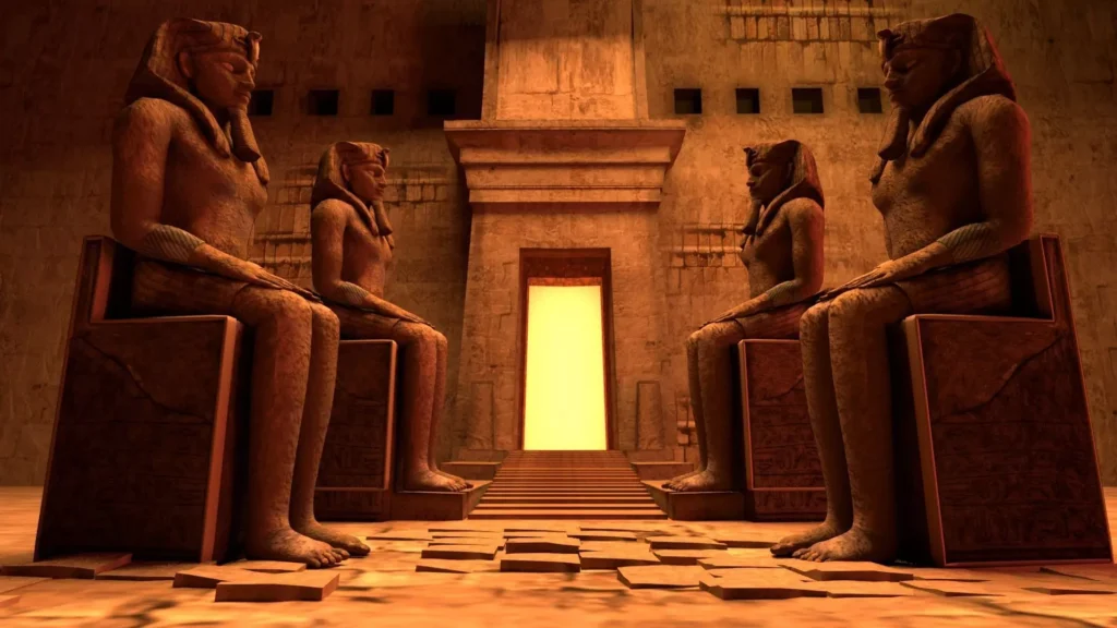
When Architecture Becomes Cosmology Sacred geometry in ancient architecture reveals that many of humanity’s earliest monuments were conceived not merely as physical structures but as symbolic expressions of cosmic order, mathematical harmony, and universal proportion. Across continents and civilizations, ancient builders repeatedly embedded geometric relationships into temples, pyramids, ceremonial centers, and entire urban layouts, suggesting […]
Earth Geometric System

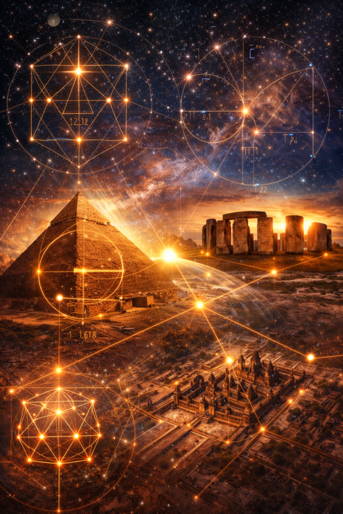
Earth Geometric System and the Architecture of the Planet The concept of an earth geometric system proposes that the planet itself may be structured according to measurable geometric relationships expressed through energy nodes, planetary alignments, and repeating spatial patterns. Across continents and cultures, ancient civilizations appear to have placed monuments, temples, and ceremonial sites at […]
Sacred Geometry Ancient Civilizations
Sacred Geometry in Ancient Civilizations and the Memory of a Forgotten Science The study of sacred geometry ancient civilizations reveals a profound and recurring pattern across the archaeological record: ancient cultures across different continents appear to have encoded mathematical proportions, astronomical alignments, and symbolic ratios into their monuments, cities, and sacred landscapes. These patterns suggest […]
Sacred Geometry and Megalithic Architecture

Sacred Geometry and Megalithic Architecture — Cosmic Design in Stone Sacred geometry megalithic architecture explores how ancient civilizations encoded mathematical order, cosmic cycles, and planetary movements into massive stone constructions that continue to puzzle researchers today. Across continents and cultures, megalithic structures demonstrate precise orientation, geometric planning, and astronomical alignment that suggest intentional relationships between […]
Sacred Geometry Earth Cycles

Geometry Written in the Motion of Earth The concept of sacred geometry earth cycles emerges from the ancient recognition that planetary motion follows precise mathematical patterns that shape both the structure of the cosmos and the development of human civilization. Early observers carefully tracked the rotation of the Earth, the progression of seasons, and the […]
Sacred Numbers of the Universe: Cosmic Order

The Numerical Language of the Cosmos The concept of sacred numbers cosmic order describes the belief that numerical relationships structure both the universe and human existence. Across continents and civilizations separated by oceans, cultures that never directly interacted nevertheless arrived at remarkably similar numerical systems to describe the structure of reality. From monumental architecture aligned […]
Birth of Sacred Geometry — Measuring Heaven and Earth
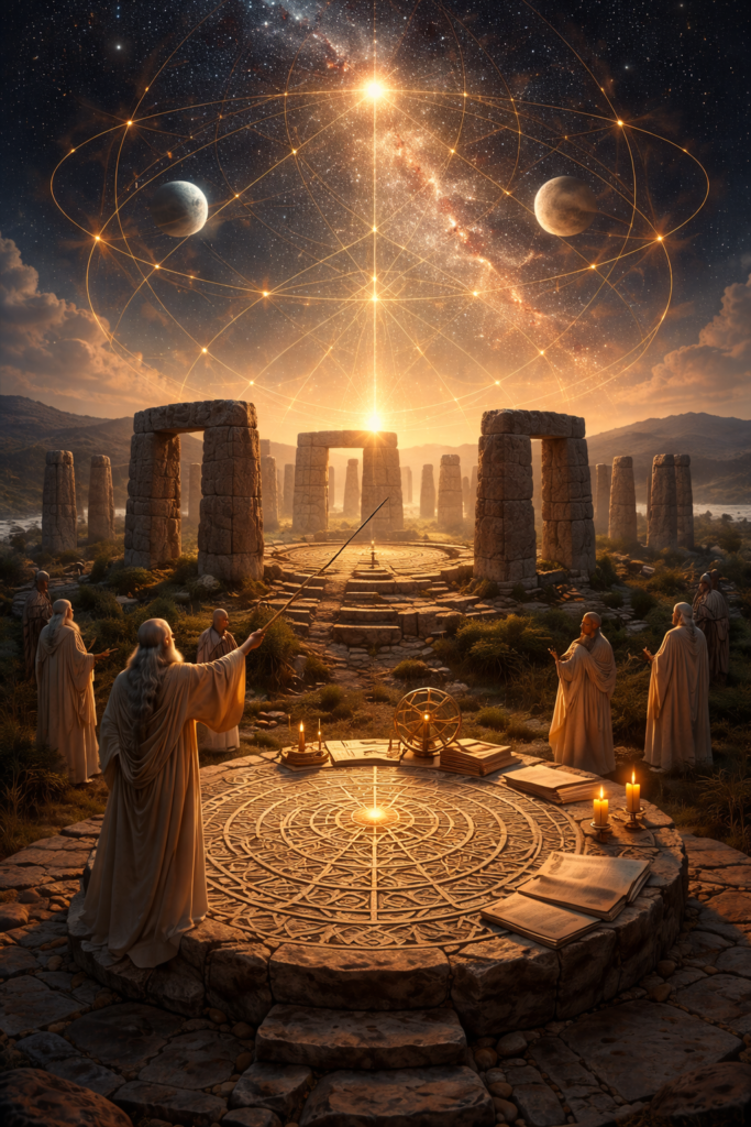
The Birth of Sacred Geometry and the Measurement of Reality The birth of sacred geometry represents one of the most transformative intellectual developments in human history, marking the moment when early civilizations began to recognize that the universe operates according to measurable patterns, recurring cycles, and consistent proportions that link the movement of the heavens […]
