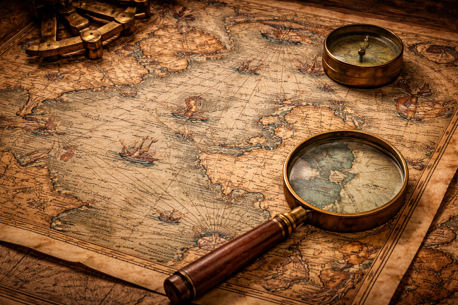
The Origins of Mapping and the Human Need to Understand Space
The word cartography — the science and art of mapmaking — entered the English language only in the nineteenth century, derived from the Latin carta, meaning map. Yet the practice itself is far older than written language, emerging from humanity’s fundamental desire to represent territory, understand landscape, and conceptualize the structure of the world.
From prehistoric cave markings to satellite-based geographic systems, maps have always served multiple purposes: practical navigation, political control, spiritual symbolism, and intellectual inquiry. They reveal not merely geographic knowledge but the philosophical assumptions and cosmological beliefs of the cultures that produced them. Each map is therefore both a technical instrument and a cultural document.
Across thousands of years, cartography evolved from symbolic landscape representations to mathematically precise global projections. This transformation was shaped by exploration, astronomy, mathematics, trade, and empire — and reflects humanity’s persistent attempt to impose order on the unknown.
Among the earliest surviving world maps stands the remarkable Babylonian Imago Mundi, a sixth-century BCE clay tablet revealing how ancient Mesopotamians understood the structure of the universe. Yet this artifact represents only one stage in a much longer and more complex evolution of cartographic thought.
The First Maps — Prehistoric Landscapes and Symbolic Representation
The earliest known maps were not drawn for navigation across oceans or empires but for immediate survival. Prehistoric humans created spatial representations on cave walls, stone surfaces, and bone fragments, marking rivers, hunting territories, migration routes, and celestial phenomena.
These early maps possessed several defining characteristics:
-
Symbolic representation rather than scale accuracy
-
Local geographic focus
-
Integration of celestial and terrestrial features
-
Functional use in hunting, ritual, and seasonal movement
One of the oldest known examples is the wall painting of Çatalhöyük (c. 6200 BCE), often interpreted as a settlement map showing houses and a nearby volcanic mountain. While scholars debate its interpretation, the image demonstrates an early human attempt to translate lived space into visual form.
These prehistoric maps reveal that cartography originated not as scientific measurement but as cognitive mapping — the translation of human experience into spatial representation.
Mesopotamian Cartography and the Emergence of Cosmic Geography
By the third and second millennia BCE, the civilizations of Mesopotamia began producing more structured geographic representations. Clay tablets from cities such as Nippur show field boundaries, irrigation canals, and administrative territories, demonstrating the use of maps for governance and land management.
The Babylonian Imago Mundi
Created around the 6th century BCE, the Imago Mundi is widely regarded as the oldest surviving world map. It presents a circular world centered on Babylon, positioned along the Euphrates River and surrounded by neighboring regions.
Beyond this landmass lies a circular ocean — the “bitter river” — enclosing the known world. Outside this boundary appear triangular regions called nagu, distant territories described in cuneiform inscriptions.
The map’s characteristics reveal its purpose:
-
It is cosmological rather than navigational
-
It places the political center at the world’s center
-
It integrates mythological geography with physical terrain
-
It expresses a structured universe rather than measurable space
This early synthesis of geography and cosmology became a recurring pattern throughout the history of cartography.
Egyptian and Early Survey Mapping — Geometry and Administration
In ancient Egypt, mapping was closely tied to administrative control and land measurement. Annual flooding of the Nile required constant re-surveying of agricultural fields, leading to advances in geometry and practical surveying techniques.
Egyptian mapping traditions emphasized:
-
Measurement of land for taxation
-
Architectural planning
-
Resource documentation (such as mining routes)
-
Sacred geography linked to temple orientation
The Turin Papyrus Map (c. 1150 BCE) is among the earliest known topographic maps, depicting mining routes and geological features in remarkable detail. Unlike the symbolic Babylonian world map, this document demonstrates a practical understanding of landscape representation.
Greek Cartography — The Birth of Scientific Mapping
The Greeks transformed mapping from symbolic representation into mathematical science. Their innovations established principles that still shape modern cartography.
Anaximander and Early World Maps
In the sixth century BCE, Anaximander is credited with producing one of the earliest Greek world maps, envisioning Earth as a floating cylinder surrounded by ocean.
Eratosthenes and Measurement of the Earth
In the third century BCE, Eratosthenes calculated Earth’s circumference using geometric observation of shadows, producing a remarkably accurate estimate. His work introduced latitude and longitude concepts essential for later mapping.
Claudius Ptolemy and Coordinate Geography
Ptolemy’s Geographia (2nd century CE) provided a systematic framework for mapping using a grid of coordinates and mathematical projection methods. His work influenced European and Islamic cartography for over a millennium.
Greek cartography introduced:
-
Mathematical projection
-
Coordinate systems
-
Spherical Earth theory
-
Scientific geographic measurement
These innovations transformed maps into tools of empirical investigation.
Roman Cartography — Mapping Empire and Infrastructure
Roman maps were primarily practical instruments designed to administer and control vast territories. Unlike the theoretical Greek tradition, Roman cartography focused on roads, boundaries, and military logistics.
The most famous example is the Tabula Peutingeriana, a schematic map showing the Roman road network stretching across Europe and Asia.
Roman mapping emphasized:
-
Transportation routes
-
Imperial administration
-
Military movement
-
Territorial organization
Accuracy of scale was less important than usability for travel and governance.
Asian Traditions — Chinese and Indian Mapping Systems
Chinese Cartography
Chinese cartographers developed advanced mapping techniques including grid systems and standardized scales centuries before similar European practices.
The Yu Ji Tu (1137 CE) demonstrates precise geometric grid mapping and detailed river systems.
Chinese maps were used for:
-
State administration
-
Flood control
-
Military planning
-
Geographic documentation
Indian Cartography
Indian mapping traditions often integrated cosmology and sacred geography, reflecting religious and philosophical frameworks. Maps represented both physical landscapes and metaphysical structures.
Islamic Golden Age Cartography — Knowledge Transmission and Global Synthesis
Between the 8th and 14th centuries, Islamic scholars preserved and expanded Greek geographic knowledge while incorporating new data from trade routes spanning Africa, Asia, and Europe.
The most celebrated achievement is the world map of Muhammad al-Idrisi, produced in 1154 for Roger II of Sicily. His work synthesized geographic information from multiple cultures and travelers.
Islamic cartography contributed:
-
Empirical travel data
-
Global trade mapping
-
Climatic zones
-
Cultural geography
These maps later influenced European Renaissance cartography.
Medieval European Maps — Theology and Symbolic Worlds
Medieval European maps, known as mappaemundi, reflected Christian cosmology rather than geographic accuracy.
The Hereford Mappa Mundi places Jerusalem at the center of the world and depicts biblical events, mythical creatures, and symbolic landscapes.
These maps served educational and theological functions rather than navigation.
Portolan Charts — The Rise of Nautical Precision
By the 13th century, Mediterranean sailors developed highly accurate navigational maps known as portolan charts.
Their defining features included:
-
Compass roses
-
Rhumb line navigation networks
-
Detailed coastlines
-
Practical maritime use
Portolan charts were used by merchants, explorers, and naval powers for centuries and marked a major transition toward empirical mapping.
The Age of Exploration — Global Mapping and Geographic Expansion
European maritime expansion in the 15th and 16th centuries radically transformed cartography.
Gerardus Mercator and Projection Systems
Mercator’s 1569 projection allowed sailors to plot straight-line courses, becoming one of the most influential mapping techniques in history (link).
Piri Reis map
Produced in 1513 by an Ottoman admiral, the Piri Reis map synthesized Portuguese, Arabic, and earlier geographic sources. It reflects the global exchange of geographic knowledge during early modern exploration (link).
Techniques of Cartography — From Observation to Measurement
Across civilizations, cartography developed through increasingly sophisticated methods:
-
Astronomical observation for determining latitude
-
Geometric surveying techniques
-
Compass navigation
-
Mathematical projection systems
-
Standardized scales and grids
-
Empirical coastal measurement
Dating ancient maps involves:
-
Material analysis (clay, parchment, ink)
-
Linguistic study
-
Archaeological context
-
Comparative geographic analysis
Maps as Instruments of Power, Knowledge, and Identity
Throughout history, maps have served multiple functions:
-
Navigation and trade
-
Territorial control
-
Religious symbolism
-
Urban planning
-
Cultural identity
-
Imperial expansion
They shaped how societies understood space, authority, and their place within the universe.
The Legacy of Ancient Cartography
The history of cartography reveals not a linear progression toward accuracy but a complex interaction of belief, science, power, and imagination. Maps evolved from symbolic cosmological diagrams to precise scientific instruments, yet they have always expressed cultural perspective.
From Babylonian clay tablets to global projections, cartography represents humanity’s enduring quest to understand and represent reality.
Continue Reading
For more fascinating insights into the mysteries of ancient maps, continue your journey through the related sources available at: Ancient Maps – Ancient360
Additional Readings & Sources
-
Hapgood, C. Maps of the Ancient Sea Kings – link
-
Piri Reis, Kitab-ı Bahriye – link
-
National Geographic – Early Cartography and Navigation – link
-
British Library – History of Mapmaking
-
Schoch, R. Forgotten Civilization – link
-
West, J. A. Serpent in the Sky – link
-
NOAA – Post-Ice Age Sea Level Rise – link
-
Smithsonian – Ancient Navigation Techniques – llink
- Terra Australis Hypothesis – link
Recommended Follow-Up Articles: Cosmology, Sacred Geometry, and the Mapping of Cities
Cosmic orientation of cities
-
Teotihuacan — https://www.britannica.com/place/Teotihuacan
-
Angkor Wat — https://www.britannica.com/topic/Angkor-Wat
-
Mohenjo-daro — https://www.britannica.com/place/Mohenjo-daro
-
Archaeoastronomy — https://www.britannica.com/science/archaeoastronomy
Astronomical alignments
-
Stonehenge — https://www.britannica.com/topic/Stonehenge
-
Newgrange — https://www.britannica.com/place/Newgrange
-
Chichen Itza — https://www.britannica.com/place/Chichen-Itza
-
Solar alignment in archaeology — https://www.archaeology.org/issues/218-1605/features/4399-archaeoastronomy
Sacred urban planning
-
Varanasi — https://www.britannica.com/place/Varanasi
-
Jerusalem — https://www.britannica.com/place/Jerusalem
-
Mandala (cosmological planning model) — https://www.britannica.com/topic/mandala-symbol
Ley lines and symbolic geography
-
Alfred Watkins — https://www.britannica.com/biography/Alfred-Watkins
-
The Old Straight Track — https://archive.org/details/oldstraighttrack00watk
-
Glastonbury Tor — https://www.britannica.com/place/Glastonbury-Tor
Inca cosmological mapping
-
Ceque system — https://www.britannica.com/topic/ceque-system
-
Coricancha — https://www.britannica.com/place/Coricancha
-
Inca cosmology — https://www.britannica.com/topic/Inca-religion
Egyptian temple alignments
-
Abu Simbel — https://www.britannica.com/place/Abu-Simbel
-
Great Pyramid of Giza — https://www.britannica.com/place/Great-Pyramid-of-Giza
-
Ancient Egyptian astronomy — https://www.britannica.com/science/astronomy/Egyptian-astronomy
Roman city grids
-
Roman castrum — https://www.britannica.com/topic/castrum-Roman-military-camp
-
Cardo and Decumanus — https://www.britannica.com/topic/cardo
-
Pompeii — https://www.britannica.com/place/Pompeii
Medieval sacred geography
-
Chartres Cathedral — https://www.britannica.com/topic/Chartres-Cathedral
-
Santiago de Compostela — https://www.britannica.com/place/Santiago-de-Compostela
-
Pilgrimage routes in medieval Europe — https://www.britannica.com/topic/pilgrimage-religion
Influence of celestial models on urban design
-
Vitruvius — https://www.britannica.com/biography/Vitruvius
-
De architectura — https://www.britannica.com/topic/De-architectura
-
Johannes Kepler — https://www.britannica.com/biography/Johannes-Kepler