Connecting Earth, Sky, and Knowledge
The concept that ancient civilizations integrated knowledge of the Earth and the heavens sky into a unified scientific framework appears repeatedly across archaeological discoveries, historical texts, and architectural remains, suggesting that early societies may have possessed sophisticated systems of navigation, surveying, and environmental understanding that connected terrestrial geography with celestial observation through a worldview often summarized by the principle “as above, so below.” This principle, traditionally associated with Hermetic philosophy, reflects a fundamental assumption that cosmic order and terrestrial order mirror one another, an idea that finds remarkable expression in ancient urban planning, monumental architecture, and global navigation traditions distributed across widely separated cultures.
The global phenomenon of megalithic structures aligned with astronomical events, the existence of precise star charts created thousands of years ago, and the persistence of advanced navigation techniques among ancient seafaring cultures collectively suggest the presence of shared knowledge networks that may have transmitted technical understanding across continents and generations. These networks appear not merely symbolic or ritualistic but functional, enabling measurement of time, prediction of seasonal cycles, geographic orientation, and large-scale construction requiring extraordinary precision.
Increasingly, interdisciplinary research has begun to examine how environmental catastrophes may have disrupted the continuity of these knowledge systems, particularly the climatic upheavals associated with the Younger Dryas Impact Hypothesis (link), which proposes that one or more cosmic events approximately 12,800 and 11,600 years ago triggered abrupt climate change, megafaunal extinctions, and widespread cultural disruption. Geological evidence, including impact markers, microspherules, and nanodiamonds discovered across multiple continents, has contributed to the growing body of research suggesting that sudden global events may have destroyed advanced prehistoric societies, leaving only fragments of their knowledge preserved in myths, monuments, and maps.
Within this framework, ancient navigation traditions, megalithic alignments, and early cartographic records may represent surviving elements of a once integrated system of scientific knowledge that connected celestial observation, terrestrial measurement, and environmental adaptation into a unified understanding of the world.
Ancient Navigation Techniques and Star-Based Mapping
One of the most compelling forms of evidence for advanced ancient knowledge lies in the development of celestial navigation systems, which allowed early civilizations to determine direction, location, and seasonal timing using the predictable motions of stars, the Sun, and the Moon. The observation of circumpolar stars, particularly the North Star, provided a fixed reference point that enabled determination of latitude, while solar observations allowed estimation of seasonal cycles and geographic orientation.
Among the most sophisticated practitioners of celestial navigation were Polynesian seafarers, who developed complex systems of oceanic navigation using star paths, wave patterns, cloud formations, and biological indicators such as bird migration, enabling long-distance voyages across thousands of kilometers of open ocean without written maps or mechanical instruments. Similarly, the Phoenicians established extensive maritime trade networks throughout the Mediterranean and beyond, relying on astronomical observations and detailed knowledge of coastlines, while Norse explorers navigated the North Atlantic using solar position, horizon measurements, and possibly sunstone crystals capable of detecting polarized light.
The technical challenges involved in determining longitude before the development of accurate chronometers make these achievements particularly remarkable, as precise longitudinal measurement requires accurate timekeeping or complex astronomical calculations. Evidence suggests that early navigators employed sophisticated observational methods, including lunar distance measurement and horizon alignment, indicating a level of mathematical and astronomical knowledge far beyond what is often attributed to prehistoric societies.
Ancient star charts themselves functioned as practical navigation tools rather than purely symbolic representations. Babylonian astronomical tablets recorded detailed planetary movements, Egyptian star maps documented stellar positions with remarkable accuracy, and Chinese celestial charts preserved systematic observations of the heavens, collectively demonstrating a global tradition of mapping the sky as an extension of geographic knowledge.
The Role of Megaliths in Surveying and Mapping
Across multiple continents, monumental stone structures exhibit precise astronomical alignments and geometric relationships that suggest their function extended beyond ritual or symbolic purposes to include surveying, measurement, and geographic orientation. Sites such as Stonehenge, Carnac Stones, Callanish Stones, Nabta Playa, and the Giza pyramid complex demonstrate precise alignment with solstices, equinoxes, lunar cycles, and stellar positions.
These alignments required accurate observation of celestial motion over extended periods, precise measurement of angles and distances, and advanced understanding of geometric relationships between Earth and sky. Some researchers propose that such structures functioned as geodetic markers within a global measurement system, establishing reference points for mapping large-scale geographic relationships.
The hypothesis that megalithic sites formed part of a global network of surveying nodes remains controversial, yet the consistent precision of alignments across distant locations raises questions about the transmission of shared knowledge or standardized measurement techniques among ancient cultures.
Global Knowledge Networks Across Civilizations
Evidence of similar architectural principles, geometric patterns, and astronomical alignments across geographically distant civilizations suggests the possibility of knowledge transmission or parallel development of advanced techniques. The pyramids of Egypt, the urban planning of Teotihuacan, the sophisticated drainage systems of Mohenjo-daro, and the astronomical orientation of Angkor Wat reflect advanced understanding of geometry, engineering, and environmental adaptation.
The mechanisms through which such knowledge may have spread remain debated, with proposed explanations including maritime trade networks, migration, cultural exchange, and shared ancestral traditions. Oral transmission, temple education systems, and sacred geometry embedded within architecture may have served as vehicles for preserving technical knowledge across generations.
Technical Cartography in Antiquity
Ancient surveying instruments such as gnomons, plumb lines, knotted cords, and early angular measurement devices enabled construction of accurate geometric layouts and geographic mapping. Evidence of triangulation techniques and scale estimation appears in early cartographic traditions, while astronomical observation provided reference points for geographic orientation.
Early maps such as the Babylonian Imago Mundi, the Piri Reis Map, and Renaissance cartographic works attributed to Gerardus Mercator illustrate the evolution of geographic representation, combining empirical observation with inherited traditions.
Some researchers propose that certain mapping techniques may have been lost following environmental catastrophes or societal collapse, resulting in fragmented knowledge preserved only in later reproductions.
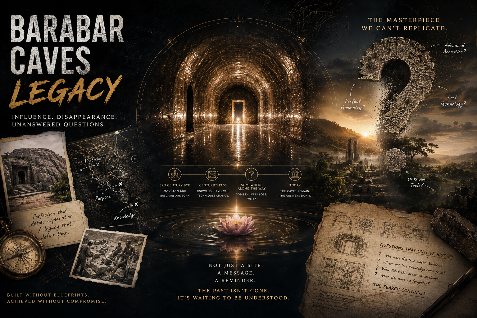
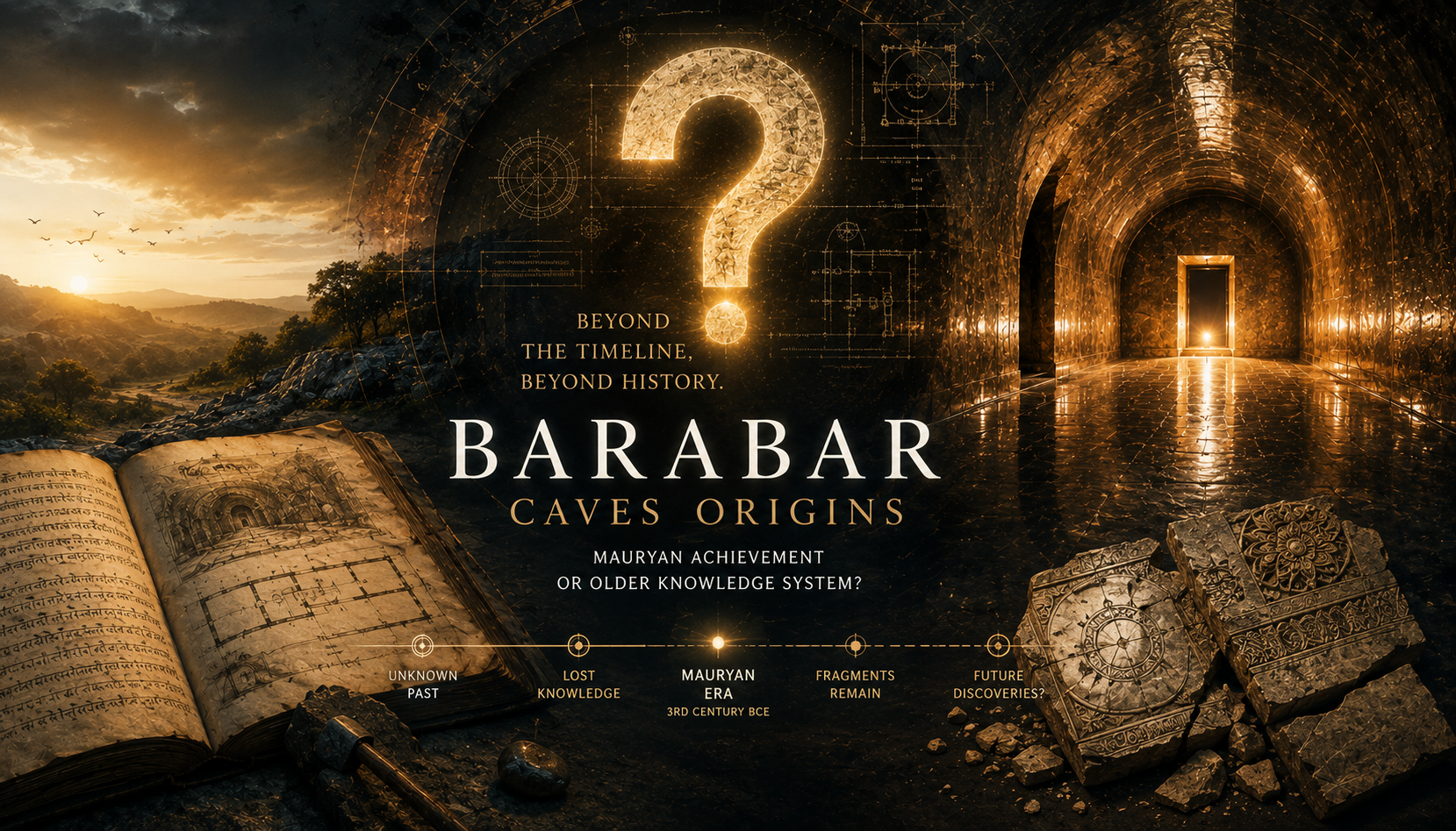
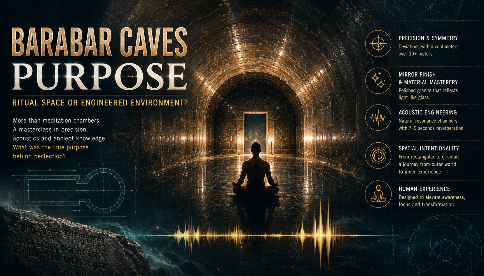
Megalithic Mathematics and Geometry
The geometry of pyramids, dolmens, and stone circles demonstrates sophisticated mathematical knowledge, including proportional relationships, precise angular measurement, and consistent use of standardized units of length. The integration of mathematical constants such as Pi and the golden ratio into architectural design suggests intentional application of advanced mathematical principles.
The precision achieved in megalithic construction raises questions regarding the technological capabilities of ancient builders and the possible existence of standardized measurement systems shared across cultures.
Star Charts, Calendars, and Chronometry
Ancient civilizations developed complex calendrical systems based on solar and lunar cycles, enabling prediction of seasonal events, agricultural planning, and religious observance. Egyptian, Babylonian, Chinese, and Mesoamerican traditions each produced detailed astronomical records, reflecting systematic observation of celestial motion.
These systems integrated terrestrial and celestial knowledge, linking geographic orientation with cosmic cycles and reinforcing the principle that Earth and sky form an interconnected system.
Navigation Across Oceans and Continents
The achievements of Polynesian navigators provide living evidence of advanced celestial navigation techniques, while Mediterranean and Norse maritime exploration demonstrates early development of global trade routes and cultural exchange networks. These voyages required detailed knowledge of winds, currents, and celestial patterns, suggesting the existence of sophisticated geographic understanding.
Lost Civilizations and the Transmission of Knowledge
The hypothesis that prehistoric civilizations possessed advanced scientific knowledge challenges conventional models of linear historical progress. Cataclysmic events, including climatic upheavals associated with the Younger Dryas, may have disrupted continuous knowledge transmission, leaving fragments preserved in monuments and myths.
Some researchers connect these possibilities with ancient traditions describing lost civilizations, including narratives associated with Atlantis and other cultural memory systems.
Modern Investigations and Technical Studies
Advances in satellite imaging, LiDAR scanning, and geodetic analysis have enabled detailed study of ancient structures, revealing patterns of alignment and precision previously undetected. Astronomical simulation software allows researchers to reconstruct ancient skies and evaluate alignment hypotheses, while radiocarbon dating and material analysis provide chronological context.
Implications for Understanding Prehistoric Intelligence
The integration of astronomy, mathematics, and engineering in ancient societies suggests a level of scientific sophistication that challenges traditional assumptions regarding prehistoric cultures. Evidence of global parallels in architecture and navigation may indicate interconnected knowledge networks or shared intellectual traditions.
Conclusion: Reconnecting Earth and Sky
The convergence of evidence from navigation, architecture, astronomy, and cartography suggests that ancient civilizations possessed integrated systems of knowledge connecting terrestrial and celestial phenomena. Whether developed independently or inherited from earlier cultures, this knowledge reflects remarkable intellectual achievement and invites continued interdisciplinary investigation into humanity’s forgotten past.
References and Additional Reading
-
Ancient360 — Cosmic Orientation of Ancient Cities (link)
-
Encyclopaedia Britannica — Archaeoastronomy (link)
-
World Atlas — History of Cartography (link)
-
Charles Hapgood — Maps of the Ancient Sea Kings (link)
-
JSTOR — Ancient Cartography Studies (link)
- Ancient360 — Ancient Maps and Star Charts (link)