
Barabar Caves: Precision Beyond Explanation
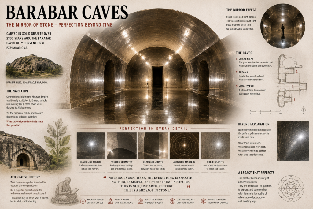
Barabar Caves: Precision Beyond Explanation The Barabar Caves represent one of the most extraordinary achievements of ancient rock-cut engineering anywhere in the world. Carved directly into some of the hardest granite formations in India, these chambers display levels of precision, symmetry, and surface finishing that remain difficult to replicate even with many modern tools. Located […]
Knowledge Loss Cycles and System Reset

Knowledge Loss Cycles and System Reset For over 300,000 years—perhaps far longer than we currently understand—human beings have walked the Earth through cycles of stability and catastrophe (Milankovitch Cycles and Climate Forcing link). Across that immense span of time, how many civilizations rose, adapted, and disappeared? How many natural cataclysms did humanity endure before recorded […]
Lost Ancient Tools
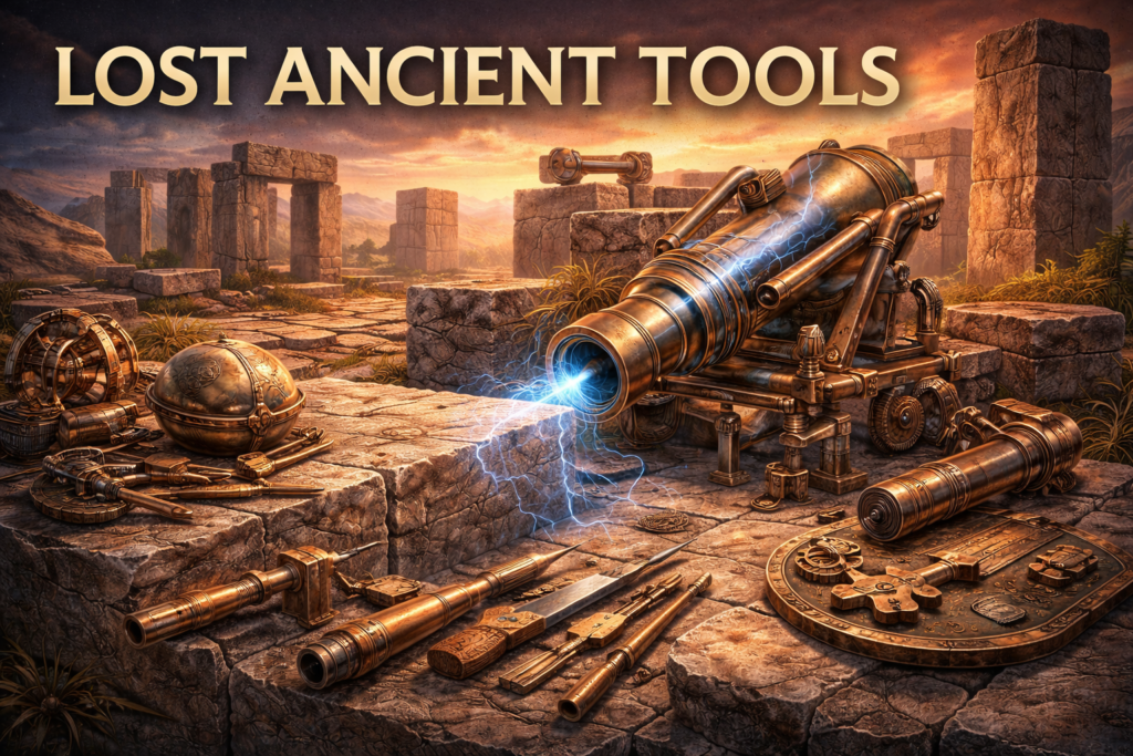
The Unseen Layer of Ancient Capability The question of lost ancient tools emerges from a persistent tension between what has been discovered and what can be directly observed in ancient construction. Across continents and time periods, stone structures exhibit precision, durability, and consistency that suggest not only skill, but systems—systems that appear more refined than […]
Megalith Cutting Precision: Ancient Stone Techniques
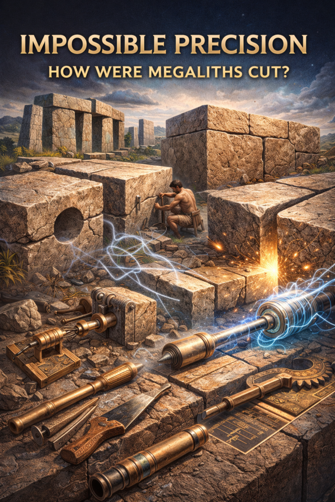
The Precision Problem in Ancient Stonework The question of megalith cutting precision stands at the center of one of the most persistent and technically challenging debates in archaeology and engineering. Across multiple ancient sites, stone blocks weighing several tons exhibit levels of flatness, symmetry, and joint accuracy that rival or, in some cases, appear to […]
Ancient Knowledge Networks: Mapping Earth and Sky

Connecting Earth, Sky, and Knowledge The concept that ancient civilizations integrated knowledge of the Earth and the heavens sky into a unified scientific framework appears repeatedly across archaeological discoveries, historical texts, and architectural remains, suggesting that early societies may have possessed sophisticated systems of navigation, surveying, and environmental understanding that connected terrestrial geography with celestial […]
Gerardus Mercator Map of Antarctica
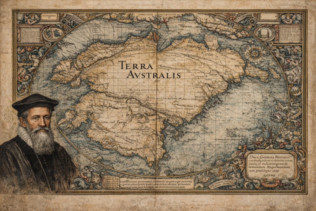
The Sources and Historical Context of the Gerardus Mercator Map The Gerardus Mercator map represents one of the most influential and scrutinized artifacts in the history of cartography, depicting a southern continent long before Antarctica was officially discovered. Created in 1569 as part of Mercator’s groundbreaking world map, it incorporates the hypothetical landmass of Terra […]
Philippe Buache Map of Antartica
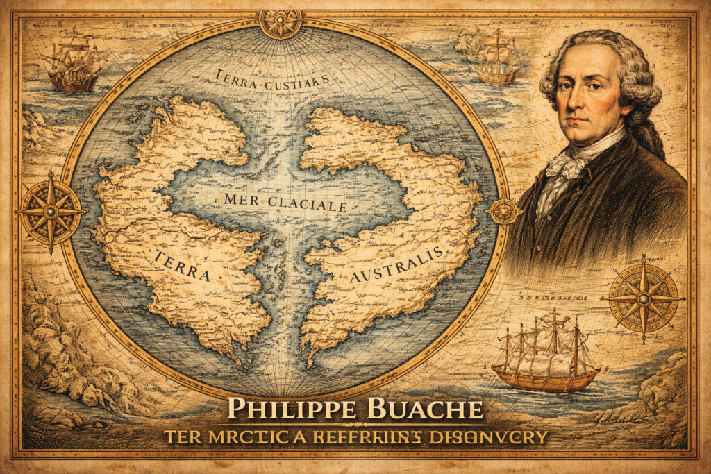
The Sources and Historical Context of the Philippe Buache Map The Philippe Buache map represents one of the most debated artifacts in the history of cartography, presenting a depiction of Antarctica that appears to include structural geographic features long before the continent was officially discovered in the nineteenth century, thereby raising fundamental questions regarding the […]
Terra Australis Hypothesis
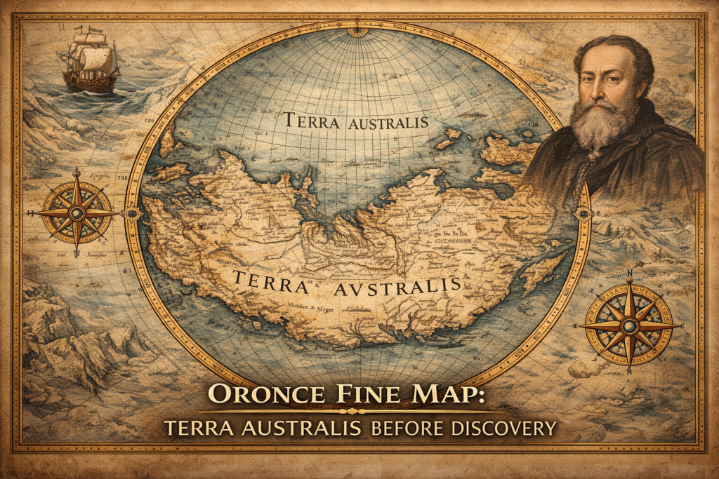
The Terra Australis Hypothesis and the Legacy of Ancient Cartography The terra australis hypothesis represents one of the most intriguing questions in the history of geographic knowledge, suggesting that a vast southern continent was mapped and theorized centuries before the modern discovery of Antarctica, raising fundamental questions about how early civilizations understood the world and […]
Ancient Navigation Technology: Evidence of Lost Survey Methods
The Mystery of Ancient Navigation The study of ancient navigation reveals one of the most profound and underexplored questions in historical science, because the extraordinary geographic accuracy preserved in several early maps implies that ancient civilizations may have possessed sophisticated systems for global travel, planetary measurement, and spatial orientation long before the appearance of modern […]
Ancient Maps Anomaly: Evidence of a Lost Global Civilization
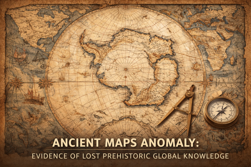
The ancient maps anomaly represents one of the most controversial and intellectually disruptive fields of historical investigation, because several medieval and early modern maps appear to preserve geographic knowledge that should not have existed according to the conventional timeline of exploration, raising profound questions about the possibility of a forgotten global civilization possessing advanced cartographic […]